A reader writes:
I have two questions, both of which you have probably been asked frequently before. I am planning a 6 month cycling tour through France, Spain and Morocco so this winter/spring:
- Do you know where I can buy decent maps for cycling in Europe and Morocco avoiding busy roads and mountains?
- Any ideas on basic sat-navs for cyclists?
Thanks for the questions! This fits into the more general topic of route planning for cycle touring. I don’t get as many questions as you might imagine on this subject, so there’s actually plenty to say here.
1. Where Can I Buy Cycle Touring Maps Of Europe & Morocco?
Honestly, it has been quite a long time since I used paper maps for navigation while cycle touring!
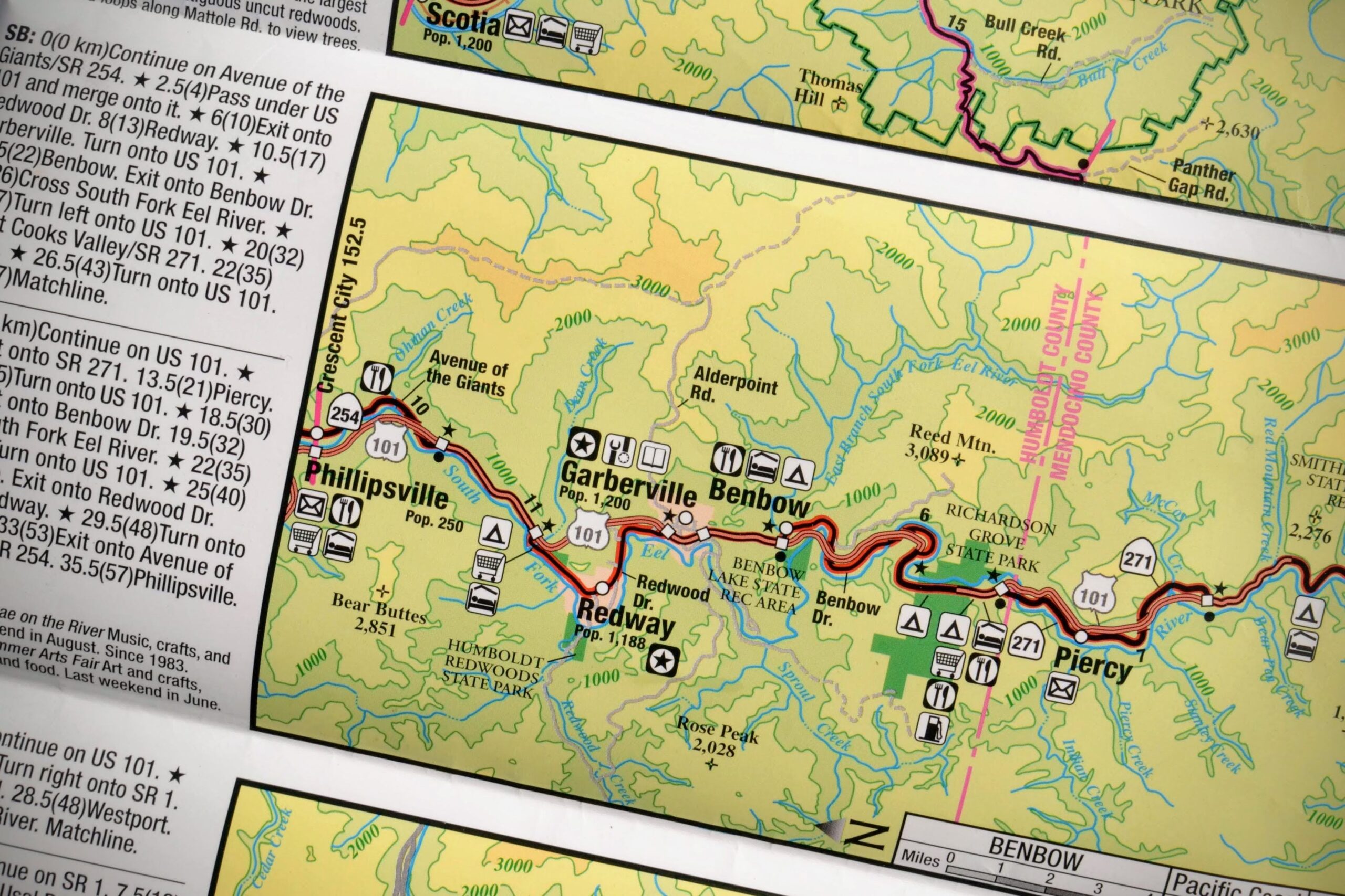
Even before the rise of the incredibly accurate and detailed digital maps we nowadays take for granted, paper maps at a level of detail needed for turn-by-turn navigating were never big enough to cover more than a few hours of riding. The average rider could comfortably cross an entire Ordnance Survey 1:50,000 (Landranger) sheet in a day. That’s a lot of maps, and they aren’t cheap!
But printed maps do still have their uses for bicycle travellers. Even today, I still prefer to have a small-scale (let’s say 1:500,000 or smaller) overview map of a whole region which is detailed enough to show minor roads and terrain/elevation but extensive enough to show a few weeks’ worth of riding, and to use these for general, longer-term route planning.
Back in the old days, I used to supplement these by visiting every European town’s tourist information office to pick up free printed map of the areas. These maps would often be more detailed, and often include local cycle routes, and would allow me to plan a couple of days of riding, usually until I got to the next town or city. This on-the-fly approach also heightened the sense of adventure as I didn’t always know where I’d be going!
This strategy worked in Europe back before smartphones had been invented, but times have changed and I suspect free printed maps may be harder to find these days.
In terms of printed overview maps to buy before you leave, in the UK your first port of call should be the map specialist Stanfords, founded in 1853, who have bricks-and-mortar shops in London and Bristol as well as an extensive online storefront.
A quick look through their online catalogue reveals a whole section containing thousands of cycling-specific maps and atlases at various scales and in various formats. If you can’t find something suitable there, it probably doesn’t exist!
I’m sure other countries have specialist map retailers too. If you know of any, please be good enough to share your knowledge in the comments below.
2. What’s The Best Sat-Nav/GPS For Cycle Touring?
Taking a sat-nav cycle touring is a good idea these days, given the decline of printed maps suitable for cyclists (particularly free ones, as mentioned above).
But in all honesty, rather than pay for a separate device and lock yourself into a particular manufacturer’s map subscription service, I would suggest simply using your existing smartphone, which will have a better display, identical functionality, and equally good maps, as well as being one less screen to look at while you could be enjoying the landscapes!
I maintain an updated list of recommended cycle touring apps which includes several cycle touring-specific mapping and navigation apps, so I won’t duplicate that content here.
Standalone GPS receiver units (aka: sat-navs, but technically GNSS receivers as GPS is just one of several satellite geolocation networks), do exist for cyclists, but the industry seems to be in trouble as manufacturers struggle to make a case for buying them, given the capabilities of today’s smartphones.
(The exception is at the top end of the market, where competitive cyclists will still pay a premium for lighter-weight, dedicated devices.)
While I’m at it, I might as well share a few notes on getting the best out of smartphones as navigation and route planning devices for cycle touring:
- Not all smartphones are created equal for outdoor pursuits. If your smartphone is weatherproof, all the better, but waterproof cases are available if it isn’t.
- A good quality quick-release handlebar mount will stabilise and protect your phone while allowing it to be easily removed for security, taking photos, making phone calls, etc. The Quadlock system, for example, comes widely recommended but at a premium price. I’ve had perfectly good experiences with cheaper elasticated silicone mounts that slip over the corners of the phone and strap securely to the stem.
- A rapid charger for short stops in cafes can help you keep your smartphone juiced up, as can a backup power bank when you’re wild camping (I have a tiny 10,000mAh one from Anker*).
- There are many ways to extend the battery life of a smartphone being used as a cycling navigation device, which I shall cover in detail in a future post.
I hope that provides an overview of my current thinking on maps and sat-navs, if not a hugely detailed exploration. There’s a lot here I’d like to expand upon, so thank you again for the question, and keep an eye on the blog over the next few months for more.
Hope this helps!
This is part of my “No Stupid Questions” series, in which readers write in with questions about cycle touring or bikepacking and I attempt to answer them. Check out more recent posts in the series or ask one of your own.
Something to add?